
Map
The overall game map of China can be downloaded (as a .pdf) by visiting TBSmap
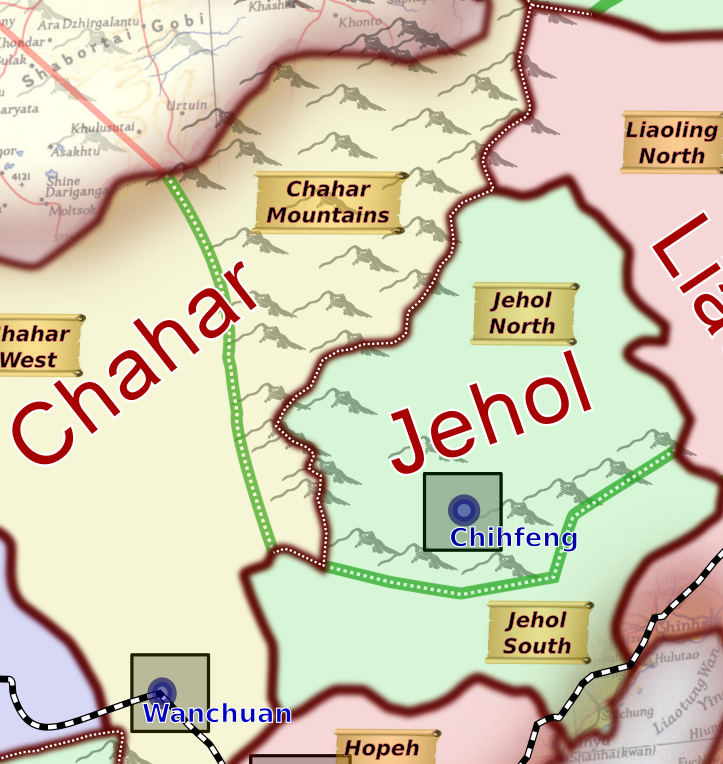
There is a large central map of China, presented in 3 parts (Manchuria, North Western China covering Sinkiang, Ma, Yunnan and Szechwan lands and eastern China. Each province is named, in one colour, and is split into Districts by boundaries in green. Where mountains and rivers affect movement, then a dotted line is shown central to the boundary. Soviet movement in the Soviet Union is ordered by movement areas adjacent to the border with China. Soviet troops are deployed into one of those areas when they become available. Japanese troops are available from China (the current troops deployed as railway guards), from Korea, from Taiwan and from Japan itself. The internal Japanese game determines which are made available. It should be noted that Japanese troops may retreat and regroup in one of those three areas.
The map was produced in Inkscape and exported as a .pdf .{ It is available under the Commons Attribution-NonCommercial ShareAlike 4.0 International License. To view a copy of this license, visit http://creativecommons.org/licenses/by-nc-sa/4.0/ or send a letter to Creative Commons, PO Box 1866, Mountain View, CA 94042, USA.} Should you want to edit the map, then contact Dave Boundy on dave@boundy.uk to obtain an Inkscape .svg file.
No comments to display
No comments to display